Geospatial imagery analysis
Satellite, map, drone, location data.
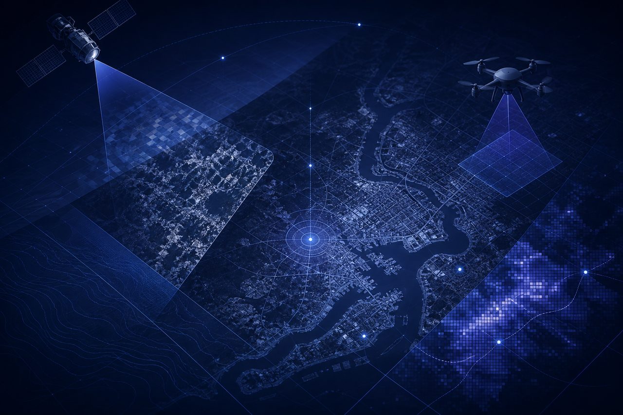
Satellite, drone, and aerial imagery is a special case of computer vision. The underlying vision problem is similar. What changes is scale and economics.
A crop monitoring project might need to look at fifty thousand square kilometers every two weeks. A construction progress monitor needs weekly updates on a hundred sites in three countries. A roof survey for a solar installer needs to process every building in a city. No human is going to look at each picture. The question is always whether you can pull a single useful signal out of that amount of pixels, cheaply and consistently.
The good news is that most geospatial problems are narrower than they look from the outside. “Monitor our entire supply chain using satellite images” is not a project. “Count the number of containers on this set of ports once a week and raise an alert when it drops by more than fifteen percent” is a project. The second one ships. The first one wanders.
The other thing to understand is that the imagery is half the work. The rest is coordinate systems, time alignment, cloud cover, resolution tradeoffs, and the fact that a pixel in a tropical region in August has a different color than the same pixel in February. Pipelines that treat satellite data like regular photos fall over on the second deployment.
What we do here:
- Start with one geography, one question, and a clear cadence. Weekly. Monthly. After every storm.
- Pick the right data source: commercial satellite, open satellite, aerial, drone, or a mix. Most projects use a mix.
- Build the preprocessing: reprojection, cloud masking, temporal normalization. This is where projects succeed or stall.
- Train or adapt a model for the specific signal, not a generic land-cover classifier.
- Deliver the output to wherever the decision actually gets made: a dashboard, an API, an alert in someone's inbox.
Done right, this kind of system turns a question that used to take a team of analysts weeks into a report that updates itself.